 0
0 Dear Trackers,
For us, the adventure officially started over 2 years ago and we are happy to see that a little more of you are joining us every day: more than 200 registered Trackers and as many shared activities!
We hope that you have taken advantage of this beautiful summer to immerse yourself in nature, on walks, mountain biking or hiking, in natural parks, on the coast or near rivers. If Holidays in exotic destinations were not truly recommended, it maybe gave you the opportunity to discover or rediscover the many faces and attractions of your country? And if you could have helped reducing the carbon footprint on the climate, then we killed two birds with one stone ...
After a well-deserved break (see the great hikes we've posted), Cyril, myself and the rest of the team bring you a new version of OpenTracks. It is therefore with great pleasure that we deliver V1.3, full of new features! Its content is detailed below.
Thank you for your support and keep talking about our community, 100% free, around you: the more we will be, the more choice of outings we will have!
Remember to update your application to take advantage of it :)
What's new in version 1.3?
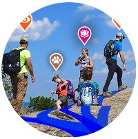
Become co-creator of activities
Do you do nature outings with others? Are you all members of the Opentracks community? Share an activity and put in common, its description, its route and all the photos taken that day. Test this new 100% friendly option !
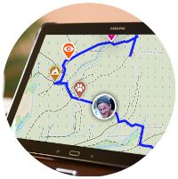
Secure your outings with Live Tracking
Do you often go trekking or hiking in isolated places? OpenTracks helps you secure your ride. Activate the option after starting the activity (when you have network) and share the link of the route by email, SMS or on social networks. Your loved ones view your route and progress on a map in real time and even the geotagged photos you are taking from the application !
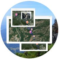
Share your routes on your blog, personal or associative website, forum...
Do you want to share your activity on a site? Integrate the cartographic visualization of your outing with all the information it contains: time, mileage, altitude difference, practical information and geotagged photos ; an easy way to make it visible on any blog or site, with a text editor accepting html.
Take part in the continuous improvement of OpenTracks
We invite you to post all your ideas for improvement, new features, or anything you would like to see in Opentracks. It is now possible from a dedicated page: the suggestion box. Discuss, consider and share with the whole community to bring out the best ideas! We will select and develop the most popular of them (more votes) in terms of the benefits they can bring to the greatest number.
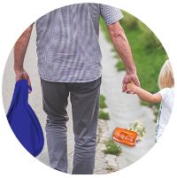
Preserve nature by creating "Track & Clean" events
If you are just like us and love nature, so you would like to preserve and clean it! Organize your Cleaning Events through our free event system: plan a route, set a date and time, and finally share it with the community and your friends. Then grab your garbage bag, your gloves and go on!
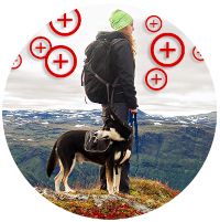
And more various improvements
Departure and arrival can be reversed in an activity planning. In GPS mode, taking a photo can be simplified: no need to fill in the information before save. Display of slope percentage in activity details: you can now see the degree of slopes directly on the track. The date of completion or planning of an activity is now displayed on its detail page. In addition to GPXs, it is now possible to import files in KML format. When updating an activity, import a GPX, a KML or manually retrace your trip.
As autumn arrives, with its freshness, light and smells, we wish you plenty of outdoor walks!
Always at your disposal here: support@opentracks.app
or directly in the application's chat ("letter" icon at the top right of the screen)
Florian from Opentracks