
Duration
3 h
Length
9.9 km
Maximum altitude
1948 meters
Minimum altitude
1189 meters
Positive elevation
1398 meters
Negative elevation
1812 meters
Hiking in the forest. Magnificent but very difficult: the heel is rarely placed on the ground throughout the climb.
The blackbird tower gives a magnificent view of the three valleys (Bozel, Champagny and pralognan) in addition to being a climbing site (Ferré)
Be the first to track this activity
Share your photos and earn
more OpenCoins
Starting address:
Ancienne Route de Bozel, Champagny-en-Vanoise, Albertville, Savoy, Auvergne-Rhône-Alpes, Metropolitan France, 73350, France
Ancienne Route de Bozel, Champagny-en-Vanoise, Albertville, Savoy, Auvergne-Rhône-Alpes, Metropolitan France, 73350, France
Latitude
45.45615
Longitude
6.699836
Click on a date to see the details of the day's weather
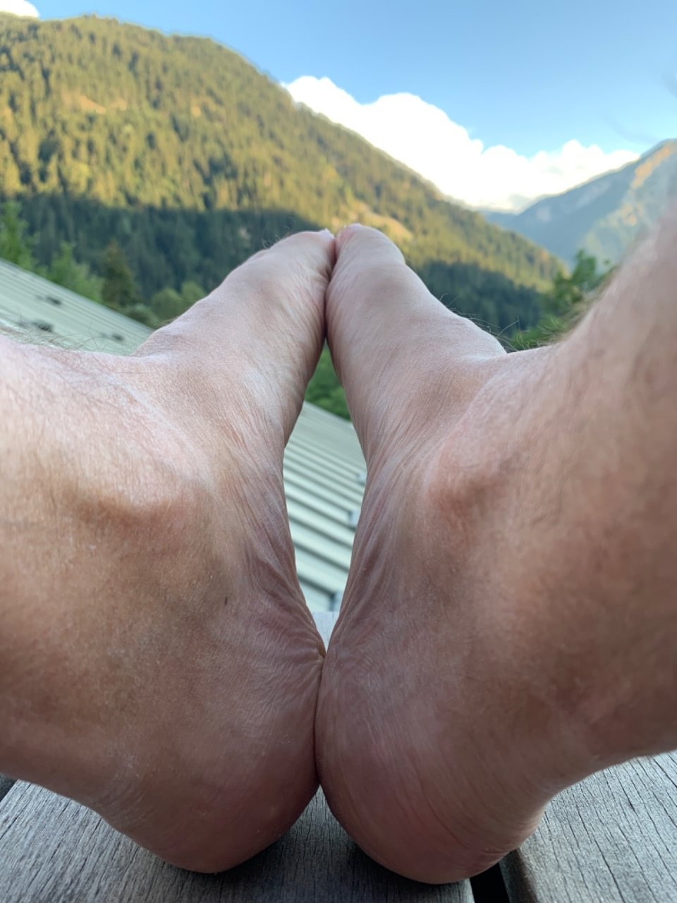
The photos of the activity!
Vallée de Pralognan
Activity comments!

Attention ! Contrairement à ce qui est indiqué sur la carte, les pentes sont supérieures à 30% quasiment sur toute la montée
Fri, Aug 12, 2022, 3:02 PM
The other nearby activities
Un petit tour du Remous de Champagny en Vanoise
Duration
2 h 30 min
Length
5.2 km
Positive elevation
726 meters
Champagny de bas en haut
Duration
2 h
Length
7.0 km
Positive elevation
868 meters
côtoyer les sommets de Champagny en Vanoise
Duration
3 h
Length
8.4 km
Positive elevation
902 meters


