
added on June 2020
Duration
5 h 30 min
Length
15.6 km
Maximum altitude
1925 meters
Minimum altitude
1674 meters
Positive elevation
526 meters
Negative elevation
526 meters
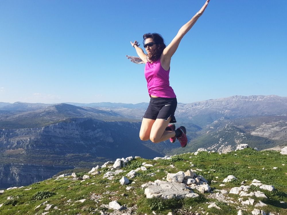
Nice hike from Valberg. From the station, discover the planetary path where you will have detailed information on the different planets of our solar system. Arrived above the station and at the end of the planetary path, you can either go back or continue the path to the Col du Raton where you will have a magnificent view of the Cians gorges.
Be the first to track this activity
Share your photos and earn
more OpenCoins
Starting address:
Place du Mercantour, Place Charles Ginesy, Valberg, Péone, Nice, Maritime Alps, Provence-Alpes-Côte d'Azur, Metropolitan France, 06470, France
Place du Mercantour, Place Charles Ginesy, Valberg, Péone, Nice, Maritime Alps, Provence-Alpes-Côte d'Azur, Metropolitan France, 06470, France
Latitude
44.096233
Longitude
6.929791
Click on a date to see the details of the day's weather
The photos of the activity!
Activity comments!

La piste du raton en hiver, quand c'est suffisamment enneigé, est un vrai régal pour le ski ! 🙂
Wed, Jul 1, 2020, 10:17 PM


